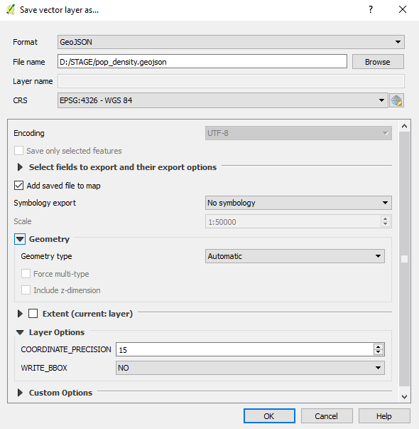
QGIS supports a large number of data formats, making it an excellent tool for converting data to other formats and transforming data into other coordinate systems.
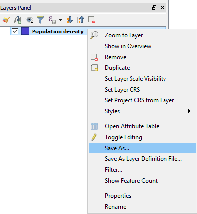
The export options for the desired layer are obtained by right clicking and the Save As option.


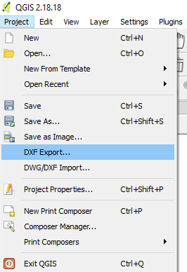
In addition to the ability to export individual layers to different formats, it is also possible to export the entire project into a DXF file, which enables the opening of these data in CAD tools (such as LibreCAD and AutoCAD).

The production of thematic maps and their export will be presented in the next chapter Thematic Cartography and print composing.