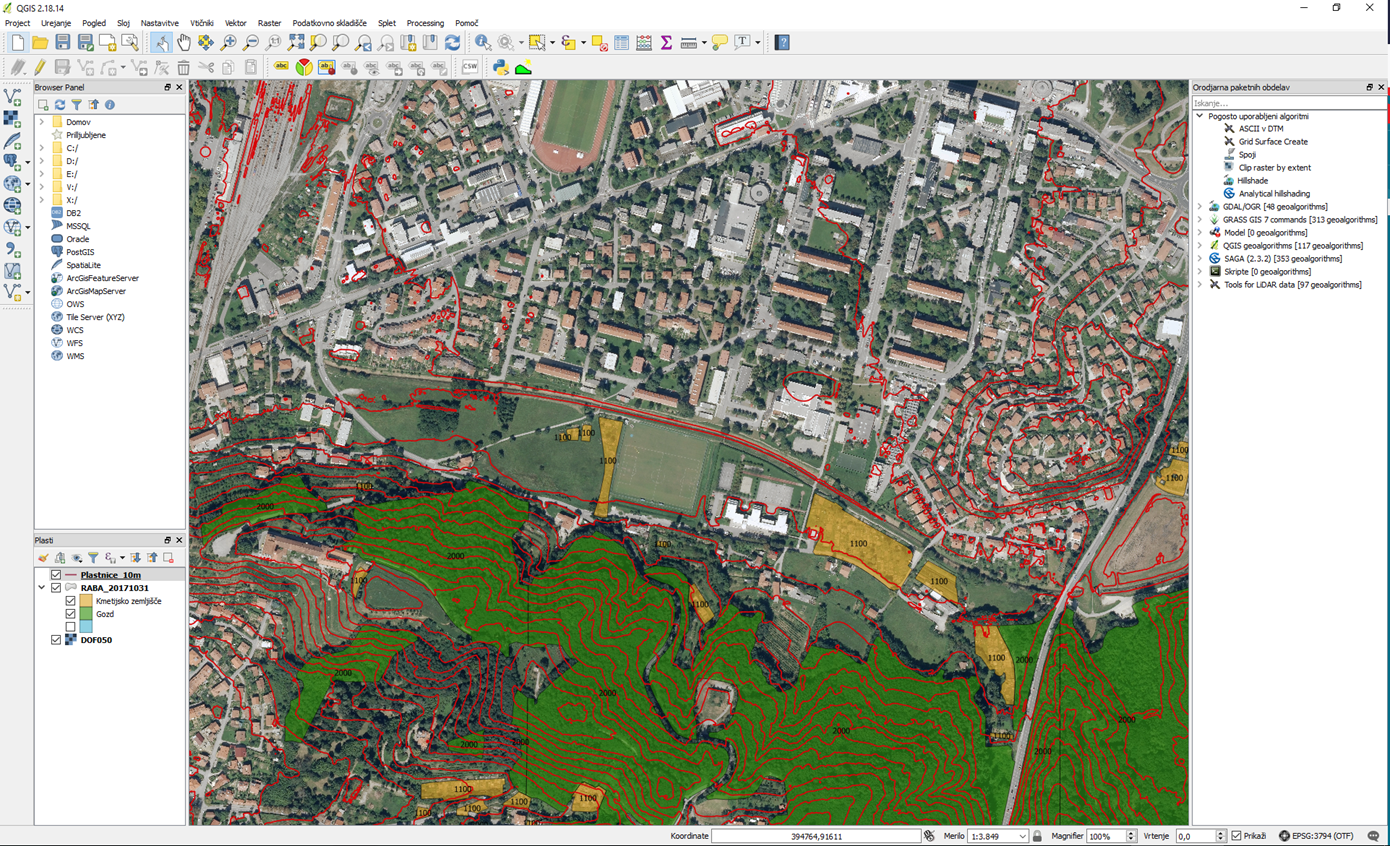
QGIS (formerly referred to as Quantum GIS) is a GIS software tool that has the following features:
- Open source (GNU GPL)
- User friendly (modern Qt interface)
- Multiplatform: Windows, Linux, Mac OS X, Android (beta)
- It supports many languages
- A big user community

What does QGIS offer?
- Creation and processing of spatial data
- Support of standard data formats and services (ESRI Shapefile, CSV / TSV, GeoTIFF, WMS, WFS, KML, JPEG 2000, ASCII, ...)
- 2D, 2.5D and 3D visualization of spatial data
- It contains powerful statistical tools and analytical functions
- Building process models and their export (Processing Modeler)
- Production of thematic cartography
- It supports many extensions and external tools (GRASS GIS, SAGA, OTB, LAStools, ...)
- It supports various (spatial) databases (PostgreSQL / PostGIS, SpatiaLite, MySQL, Oracle Spatial, ...)
- It offers more than 760 plug-ins
- It allows you to create plug-ins and scripts (Python / PyQGIS, R, ...)
How to install it?
- Download the installation program on the QGIS website
- Follow the installation guide
A practical example of use cases is offered in the following chapters.
